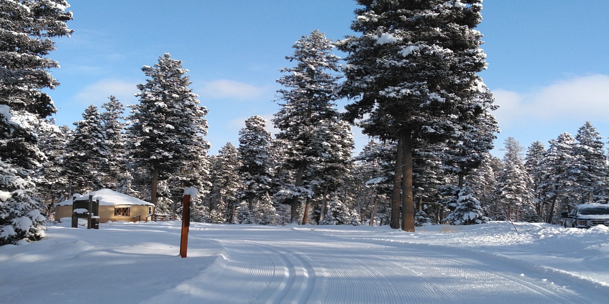
Seeley Lake's temperature is in the 60's today and we've been experiencing a major melt out, just in time for Spring.
Our season is most likely over, but we were lucky to experience one final weekend with the best coverage of the season.
Reported on Mar 20, 2026 at 5:00 PM by Laurie
Area X
+
ABC
Distance
Open
Last Groomed
Area X Entry
0.06km
Mar 16, 3:21 PM
Area X Exit
0.06km
Mar 16, 3:40 PM
Blue 1
0.5km
Mar 16, 6:23 AM
Blue 1/Blue 3 Connector
0.03km
Mar 15, 6:24 AM
Blue 2
0.21km
Blue 2/Blue 3 Connector
0.02km
Blue 3
0.39km
Green 1
0.37km
Mar 16, 4:14 PM
Green 1/Green 2 Connector
0.01km
Mar 16, 4:00 PM
Green 1/Green 3 Connector 1
0.01km
Mar 16, 3:59 PM
Green 1/Green 3 Connector 2
0.02km
Green 2
0.25km
Mar 16, 4:00 PM
Green 2/Green 3 Connector 1
0.04km
Mar 16, 3:40 PM
Green 2/Green 3 Connector 2
0.02km
Mar 16, 4:00 PM
Green 3
0.39km
Mar 16, 4:00 PM
Green 3 Connector
0.03km
Mar 16, 3:58 PM
Logging Camp/Area X Connector
0.29km
Mar 16, 3:40 PM
Teaching Area Crossover
0.06km
Teaching Area Entrance
0.03km
Main Trail System
+
ABC
Distance
Open
Last Groomed
1 KM Loop Cutoff
Intended direction of travel is from west to east.
0.05km
Mar 16, 3:13 PM
10 KM Loop
9.91km
Mar 16, 3:40 PM
3 KM Loop
2.98km
Mar 16, 3:40 PM
5 KM Loop
4.98km
Mar 16, 3:40 PM
5 KM Loop Connector
Intended direction of travel is from south to north (jct 20 to 22 - note the illustrated profile is in reverse of intended direction). This is an unnamed segment of the 17478 road.
0.33km
Mar 16, 7:05 AM
5 KM Loop Cutoff
Intended direction of travel is from south to north (jct 4 to 18). This is an unnamed segment of the 17478 road.
0.36km
Mar 16, 11:38 AM
7 KM Loop
7.01km
Mar 16, 3:40 PM
Bear Tree
Intended direction of travel is from south to north (jct 17 to 21 - note the illustrated profile is in reverse of intended direction). Note there are downhill sections where you need to control your speed while becoming familiar with the trail.
1.81km
Mar 16, 11:41 AM
Biathlon Range Cutoff
0.08km
Biathlon Range Entry/Exit
0.2km
Bull Pine
Intended direction of travel is from west to east (jct 3 to 23 then 24). Please be aware of oncoming ski traffic at junction 23 and TWO WAY traffic at junction 24.
0.81km
Mar 16, 3:40 PM
Hawk Woods
Intended direction of travel is from east to west (jct 19 to 16). Note there are downhill sections where you need to control your speed while becoming familiar with the trail.
1.71km
Mar 16, 7:37 AM
Larch Knob
One-way direction of travel is from east to west (jct 10 to 12) (note the illustrated profile is shown in reverse of one-way direction). The terrain includes long uphill climbs and fast downhill corners.
1.83km
Mar 15, 8:58 AM
Larch Knob Bypass
Intended direction of travel is from east to west (jct 10 directly to 12).
0.79km
Mar 16, 11:43 AM
Larch Knob/Hawk Woods Connector
If connecting to Larch Knob, you must turn right onto Larch Knob to follow the intended direction of travel.
If connecting to Hawk Woods, the intended direction of travel is to the right (south)
0.06km
Logging Camp Loop
Leave the trailhead from junction 1, located left (west) of the yurt, following the loop to the north.
When returning to the trailhead from junction 2, proceed to the Logging Camp loop and turn left, following the loop east and then south to return to the trailhead.
1.75km
Mar 16, 3:40 PM
Moose Meadows
Intended direction of travel is generally from west to east, with the initial portion being south to north (jct 12 to 21). Note there is a technical downhill corner located between junctions 13 and 21, known as "The Waterfall."
2.19km
Mar 16, 11:49 AM
Moose Meadows/Hawk Woods Connector
If connecting to Hawk Woods, the intended direction of travel is to the right (southwest).
If connecting to Moose Meadows, the intended direction of travel is to the right (east).
0.1km
Mountain View
One-way direction of travel is from west to east (jct 8 to 9). The terrain includes long uphill climbs and fast downhill corners.
1.49km
Mar 15, 8:45 AM
Roller Coaster - Lower
Lower Roller is MORE technically difficult than Upper Roller. Intended direction of travel is from southeast to northwest (jct 6 to 8). Note there are winding downhill sections where you need to control your speed while becoming familiar with the trail, as well as a LONG uphill climb.
1.43km
Roller Coaster - Upper
Intended direction of travel is from east to west (jct 5 to 6). Note there are downhill sections with corners where you need to control your speed while becoming familiar with the trail.
1.14km
Roller Cutoff
Intended direction of travel is from south to north (jct 6 to 8).
0.54km
Mar 15, 8:58 AM
Spruce Alley - The Adventure Trail
0.45km
Mar 16, 11:15 AM
Two Creeks
Intended direction of travel is from east to west (jct 2 to 10). Note there are downhill corners between junctions 4 and 5, where you should control your speed while becoming familiar with the trail.
2.7km
Mar 16, 3:40 PM
Whitetail Run
Intended direction of travel is from north to south (jct 21 to 23). Note there are downhill sections between junctions 22 and 23 where you should control your speed while becoming familiar with the trail. Watch for merging traffic as you approach junction 23 (Bull Pine).
0.81km
Mar 16, 11:51 AM
Addition
+
ABC
Distance
Open
Last Groomed
Auggie East Gate Connector
PLEASE NOTE: The Auggie Road is shared use - watch for snowmobile traffic!
0.17km
Auggie Road
PLEASE NOTE: The Auggie Road is shared use - watch for snowmobile traffic!
3.99km
Auggie West Gate Connector
PLEASE NOTE: The Auggie Road is shared use - watch for snowmobile traffic!
0.13km
Skyline Addition
One-way direction of travel is from west to east (note the illustrated profile is shown in reverse of intended direction). Significant ascents and descents exist on this trail. The two ends of this trail connect to the Auggie Road (shared use with snowmobile traffic). Be aware of where you are on the Auggie Road to locate the entrance to the Skyline Addition (across from the West Gate) as well as the two returns (West and East Gates) back to the main trail system.